01.10.2010: I am still on business abroad, so no progress with flight testing. I will however return on the 3rd, after which I will resume the tests.
03.10.2010: I am back from my business trip around the world (this time literally), so I hope to resume flight testing tomorrow or Wednesday. I am by the way struggling with some changes my web provider did to his servers (he eliminated support for publishing directly out of FrontPage), so in case some things on my site don’t look the way they should, I’m working on it.
06.10.2010: Finally back in the air! Today I did two long flights together with my wife, during which we managed to to perform the program of the EAS test flights 8 to 12 and 14. They mostly cover handling issues, such as the verification of increasing stick and pedal forces over the full range of deflection, and also stability issues. I also did the fuel flow measurements at different power settings. The plane handled nicely during all tests, it definitely has very gentle flying characteristics.
I had not planned to do that many of the test flights today, but all went so well that after we had done 8 to 12 we landed to pick up the form to also do number 14 (fuel flow). As a result of doing so many tests in one day I promoted my wife from her previous position as “flight test engineer” to “chief flight test engineer”…
Today was one of these days were at 10’000 ft you can see from the Pyrenees to the Himalaya (roughly), so after doing the fuel flow measurement at 9’000 ft we just spent some time up there enjoying the scenery.
I skipped the EAS test flight number 13 (I wonder why they used that number for it), as it is the one where you do overspeed handling tests (VNE+10%). That is usually done alone and wearing a parachute, and I did not have one at hand. I am however planning to do that tomorrow.
The total flying hours are now:
| Flight | Flight duration | Landings | Remarks |
| 17 | 1:05 | 2 | EAS test flight 8 to 12 |
| 18 | 0:48 | 1 | EAS test flight 14 |
| Total | 13:35 | 23 |
07.10.2010: Today I planned to do the high speed test flight, during which I have to fly VNE+10%, but unfortunately the weather did not cooperate. The low hanging, closed layer of clouds stayed there the whole day. I tried to find a hole to climb “on top”, but with no success. The VNE flight is therefore postponed until tomorrow.
The total flying hours are now:
| Flight | Flight duration | Landings | Remarks |
| 19 | 0:20 | 2 | |
| Total | 13:55 | 25 |
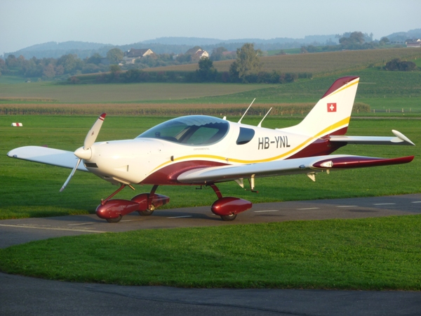
08.10.2010: Today I had more luck. The fog started to clear around noon, so I left work to go to the airport. Shortly after I arrived there, two large holes opened in the low lying clouds (2’800 to 3’500 feet), so I took off for the first of the high speed flights (tanks 1/4 full). Everything went smoothly up to the required 128 kts vIASat 8’000 ft, which corresponds to 144 kts TAS. There was not the slightest indication of vibrations or any other strange aerodynamic effects and the plane handled well during the fairly steep dive. I then filled the tanks to maximum and did the same test again, followed by the last handling flight. That one is to verify that no trim changes are required to handle the plane during flap extension / retraction as well as during significant power changes. Again the plane handled nicely under all settings. The weather was so nice that I also repeated some of the fuel flow measurements from flight 14 with other power settings.
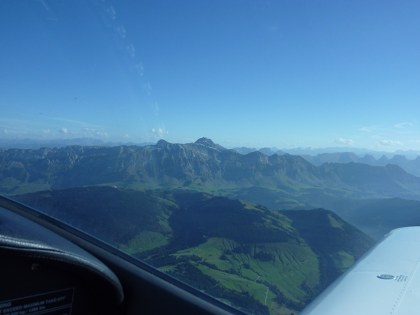
Here some impressions from the flight. First a view towards my test area. The Säntis (the mountain in the centre) is already in mountain airspace where class E goes all the way up to FL130/150 (depending on whether the Swiss Air Force is flying or not). One would not believe from the pictures that fog / clouds were an issue earlier today…
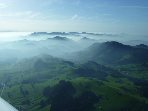
…but looking in the other direction it becomes more apparent.
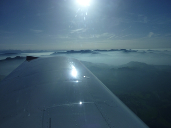
Here another shot that shows the fog.
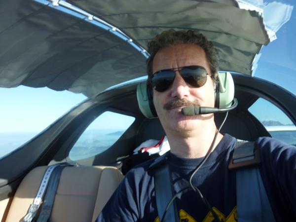
The sun shade definitely helps to keep cool, without blocking the view too much.
After the flights I called the chief of flight testing of the EAS to check what I have to do next. He told me to send him all the completed forms, as well as a copy of the updated AFM, and gave me the permission to start flying to other airfields during the remaining test flights (which are just needed to achieve the 25 hours minimum to finish the flight testing period). I have to do another 10 hours before I can apply for the unrestricted permit to fly, so I am hoping for some more nice autumn weather.
The total flying hours are now:
| Flight | Flight duration | Landings | Remarks |
| 20 | 0:22 | 1 | EAS test flight 13 |
| 21 | 1:05 | 1 | EAS test flights 13, 14 and 15 |
| Total | 15:22 | 27 |
09.10.2010: Now that I have the permission to fly to other airfields the weather starts developing our quite frequent and persistent autumn fog. During the day the fog typically lifts to become a low, but thin cloud layer, which sometimes disappears or gets holes through which one can climb on top. Sometimes it also lifts high enough so that one can fly underneath. Once there are enough holes one can safely climb through one of them to fly on top and still get below in case one has to. There are a few airfields nearby where one can then fly to, such as Bad Ragaz, Mollis or Samedan, and which typically have nicer weather due to their topographical location. Today I tried to fly to one of them, but the base of the cloud layer only lifted to slightly above circuit height and stayed closed. I flew around a bit at “low level”, but then decided to call it a day and go home.
The total flying hours are now:
| Flight | Flight duration | Landings | Remarks |
| 22 | 0:37 | 1 | |
| Total | 15:59 | 28 |
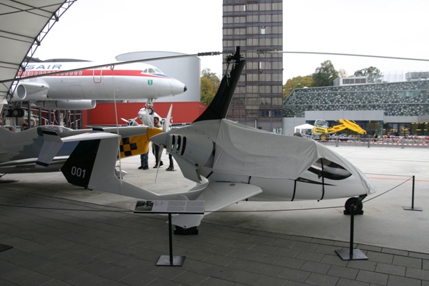
10.10.2010: Today I went to Lucerne in the morning (by train, not by plane) to see the special exhibition “100 Years of Aviation in Switzerland” at the Swiss Transport Museum. In 1910 the first powered aeroplane flew in Switzerland, so the Swiss Aeroclub decided to celebrate that with this special exhibition. They even had two homebuilts on display, one of them a gyrocopter which should soon have it’s first flight.
The weather looked as bad as yesterday, but I decided to give it a try non the less in the afternoon. The first flight was just about the same as yesterday, with the cloud base at 2600 ft (the airfield is at 1540 ft, with hills around it up to 3000 ft), so some more “low flying”. The cloud base was however significantly higher towards the lake of Constance, so I stayed around there for some time. I had the impression that it looked nicer towards the North, so after landing I looked at the weather reports again and also checked out some of the many webcams in the area. It looked like some stronger wind would develop from the northeast, which could drive the clouds away towards the evening, so after about an hour on the ground I took off again.
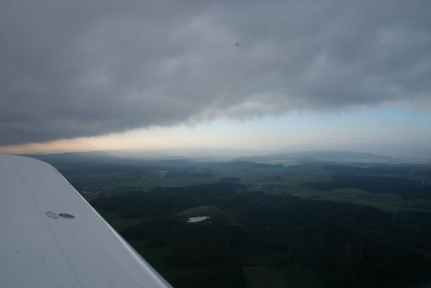
My interpretation of the weather proved to be right, shortly after turning north I saw that there was a sharp edge where the cloud layer ended, at it was moving south at an amazing speed.
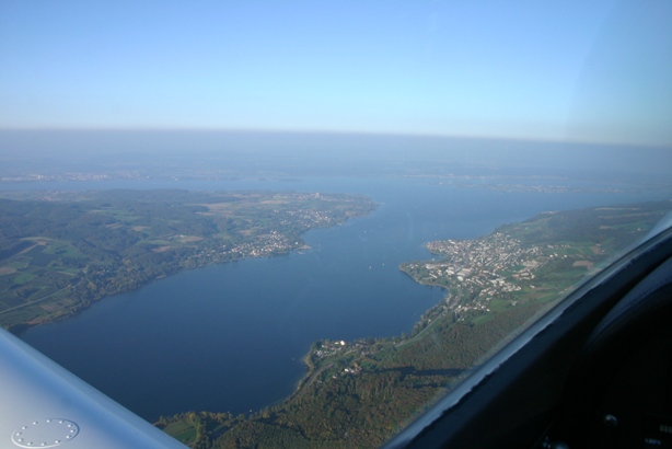
The villages along the Rhine river were already enjoying the sun, such as Stein am Rhein below.
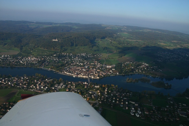
Here a look to the East, with the shadow of the clouds still clearly visible on the German side,…
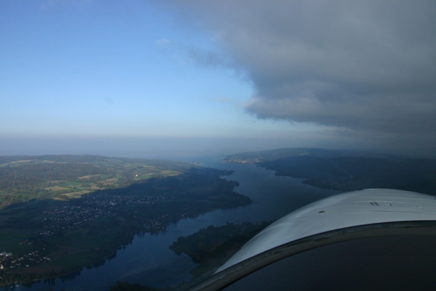
…and the same only a few minutes later.
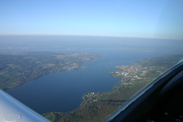
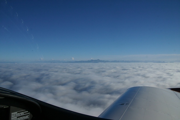
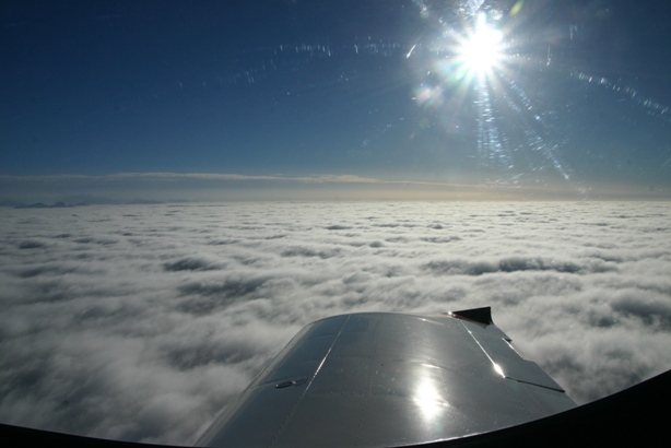
I decided to climb along the edge of the clouds to have a look over the top, and was rewarded with a spectacular panorama once I reached approximately 5’000 ft.
Here a view of the panel (with all my fancy screens…).
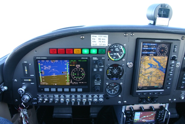
The Dynon instruments combined with the Garmin 695 GPS and the GNS430 Radio/GPS/VOR are really cool, giving a lot of information that would otherwise have to be calculated manually with traditional instruments. Kitfox Thomas, who is also an Airbus captain for Swiss, always jokes that my panel is more advanced than the one in the Airbus A320 he is flying…
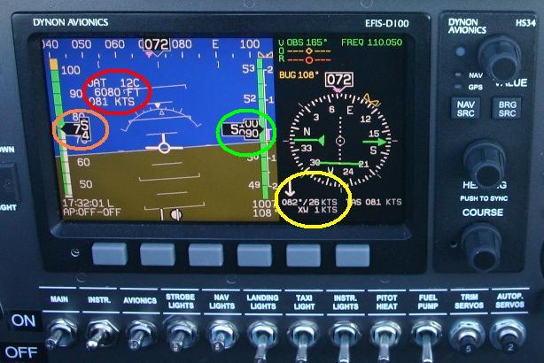
To explain things a bit better I marked a few items on the picture below. The red ring shows the outside air temperature, density altitude (6080 ft compared to the 5090 ft (green ring) I was flying at) as well as the true air speed of 81 kts compared to the indicated airspeed of 75 kts (pink ring). The best feature however is the wind vector that is shown in the yellow ring, confirming that we had 26 kts of wind from 82 degrees. That’s what was driving the clouds away.
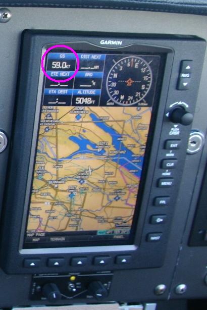
The GPS below showed that I only had a ground speed of 59 kts, as I was flying nearly straight into the wind.
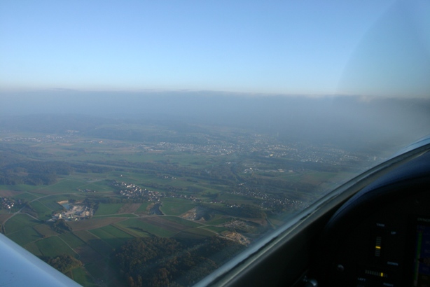
When I returned towards the airfield an hour later (around 18:00 local time) the clouds were all gone.
With these two flights I now only need seven hours more to finish the test flying phase. Hopefully I have some more days like today during the next two weeks.
The total flying hours are now:
| Flight | Flight duration | Landings | Remarks |
| 23 | 0:46 | 1 | |
| 24 | 1:19 | 1 | |
| Total | 18:00 | 30 |
11.10.2010: As usual the weather is getting better after the weekend… Fortunately I managed to take a few hours off this afternoon to do some more flying. There was quite some haze in the mountains, so I chose to fly to Fricktal-Schupfart, which is about two hours return if one takes time. Here some pictures from the flight back to Lommis:
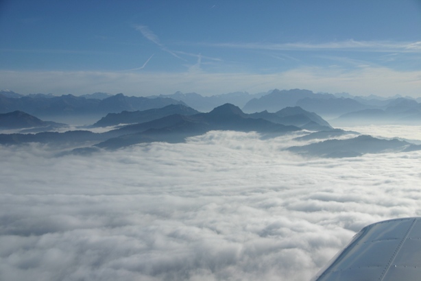
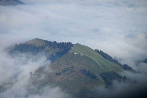
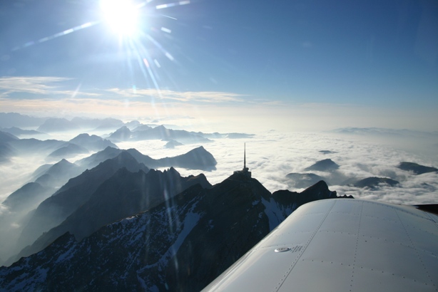
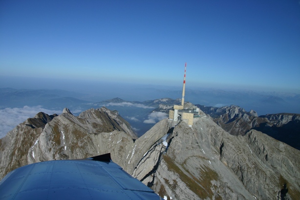
The total flying hours are now:
| Flight | Flight duration | Landings | Remarks |
| 25 | 0:38 | 1 | |
| 26 | 1:10 | 1 | |
| Total | 19:48 | 32 |
12.10.2010: The weather is getting better every day, unfortunately I had to work this morning but I managed to leave early again and do some more flying.
The total flying hours are now:
| Flight | Flight duration | Landings | Remarks |
| 27 | 0:40 | 1 | |
| 28 | 1:00 | 1 | |
| Total | 21:28 | 34 |
I am getting close to the 25 hours I need to finish the flight testing, I hope to have it done by the end of next week. I will be away for the next three days (New York..), but Sunday should still be relatively nice weather. Once I have the 25 hours I can apply for the full permit, but I will also have to do the first 25 hrs maintenance check on the plane and the engine.
18.10.2010: The weather was rather poor today, but I decided to give it a try non the less. An instructor that just landed with a student when I arrived at the airport told me that the base was around 3’000 to 3’500 ft, which is fine to hang around a bit and get another hour or so done.
Here what the weather looked like shortly after taking off.
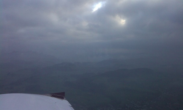
The more I flew towards the mountains the more I noticed some holes in the overcast,…
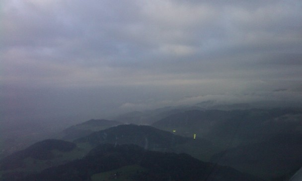
…until one was big enough to climb through. Here some views from “on top”….
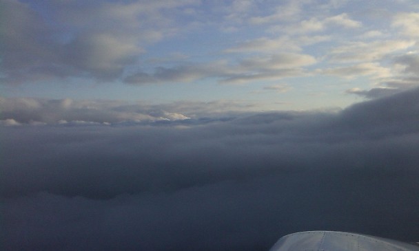
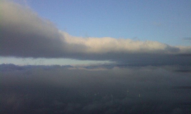
…which looked fantastic. I did not dare to stray away from my “hole”, however, so after some circling I decided to dive back into the mist.
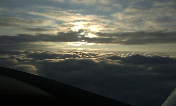
Here a view through my “hole in the sky”, down to mother earth.
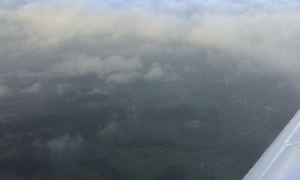
I then flew for about an hour, always staying relatively close to the airport due to the weather and the late time, until I noticed that I could see the lights of the city of Wil (which lies just a few miles south of Lommis). That made me realise that sunset was probably not too far away (even though I could not see the sun), so I hurried back to the airport where I landed at 18:45, 8 minutes after sunset but still 23 minutes before the end of dusk. Still legal, but it was pretty dark already. I could see for the first time that my landing lights actually do illuminate the runway shortly before touchdown.
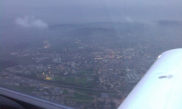
The total flying hours are now:
| Flight | Flight duration | Landings | Remarks |
| 29 | 1:00 | 1 | |
| Total | 22:28 | 35 |
2 hours and 32 minutes to go, and tomorrow should be nice weather…
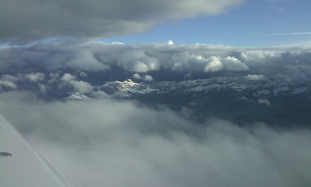
19.10.2010: The weather was again rather poor today, with better visibility than yesterday but more wind. I decided it’s a go non the less and went flying. Shortly after takeoff I noticed that the wind must be very strong, as it took much longer than usual to reach the western departure reporting point. When turning north I saw a nice rainbow.
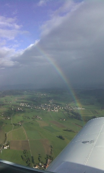
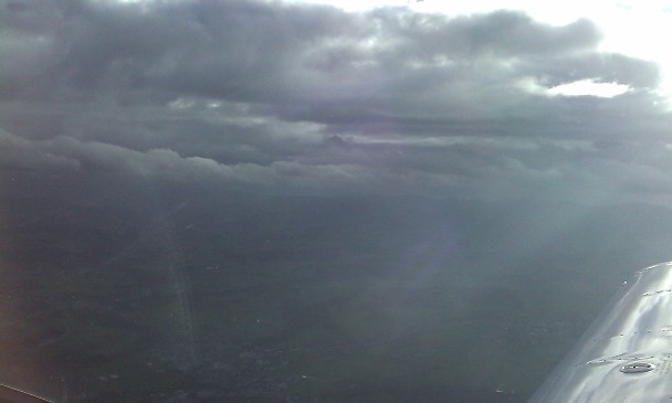
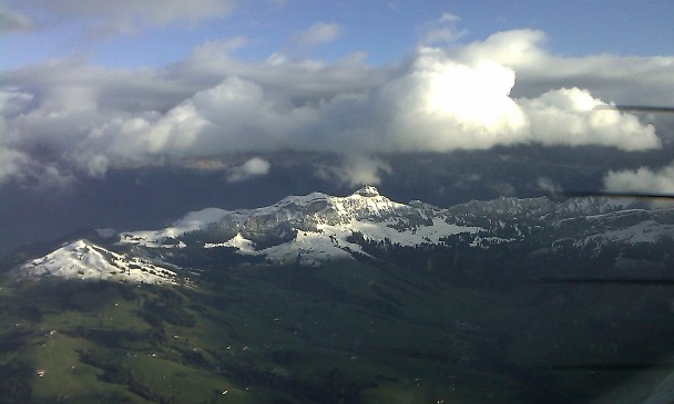
Towards the mountains there were quite some clouds…
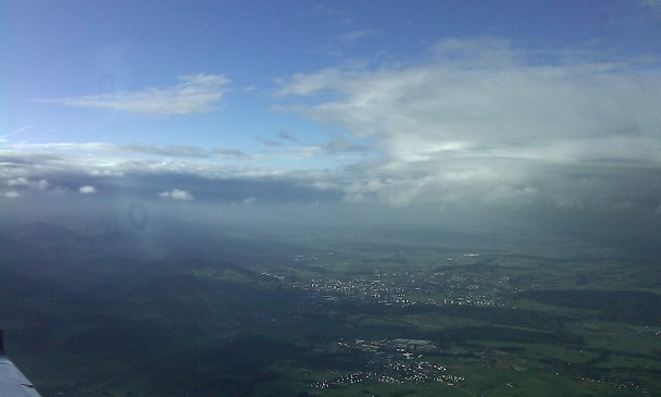
..but bigger patches of blue sky were visible towards the lake.
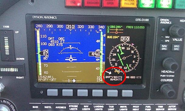
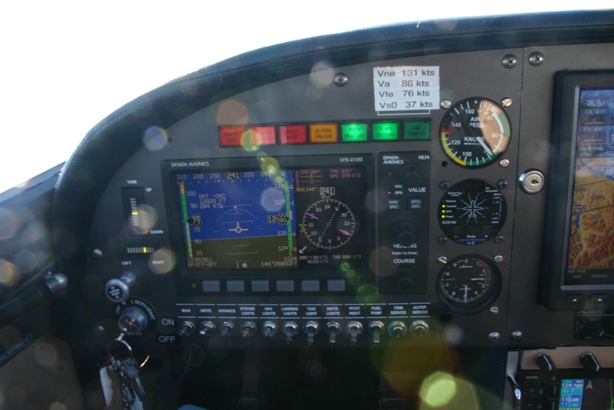
As can be seen on the picture below the wind was a spectacular 44 kts at 4460 ft altitude. The small arrow that indicates the wind vector is really a great help when flying. I prudently flew relatively slow, 86 kts is vA.
Above 5500 ft it got very calm, even though the wind was still there, below that altitude it was quite bumpy.
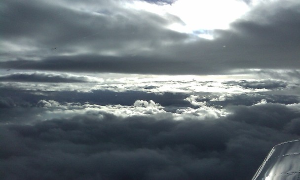
I noticed that there is already the first snow in the mountains, tomorrow we should get it down to 500 m. It’s time I finish my 25 hours…
The total flying hours are now:
| Flight | Flight duration | Landings | Remarks |
| 30 | 1:21 | 1 | |
| Total | 23:49 | 36 |
21.10.2010: Somehow the weather gods must have known that I wanted to finish my flight testing today, as it was one of those absolutely gorgeous autumn days, the exact opposite of the weather we had for the last two weeks. I took off from Lommis at 15:00 and decided to head into the mountains.
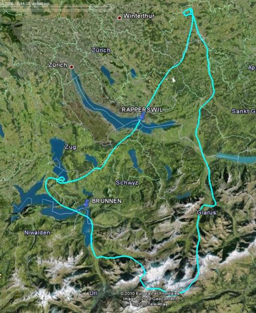
When I started updating the AFM yesterday evening I noticed that a row of values, which are not part of the EAS test sequence (climb rate at full power in landing configuration after a balked landing), were missing. That data has to be checked at 3’000, 6’000 and 9’000 feet, which I did right at the beginning of the flight. As I was at 9’000 feet after that measurement I decided to continue to the Tödi, the highest mountain in the canton of Glarus (3’614 m / 11’850 ft). To have some safety margin I climbed to 13’000 ft. With the reduced load of only me and half fuel I still had a pretty good climb rate at that altitude. The 15’000 ft ceiling altitude the EAS engineer calculated from my measurements seem to be realistic.
Here the Tödi seen from the South…
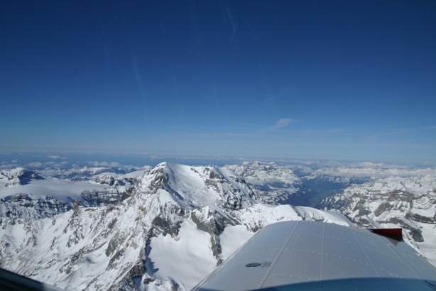
…and here from the side. The rules for the test flights stipulate that one is not allowed to overfly larger cities or other densely populated areas, I definitely followed that rule today.
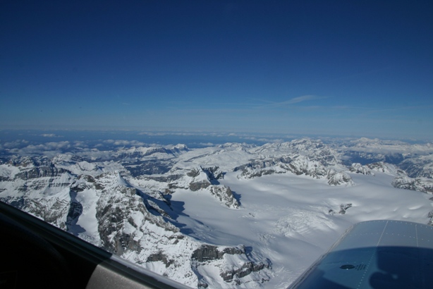
The visibility was probably only limited by the earth curvature today, there were only a few clouds south of the Alps.
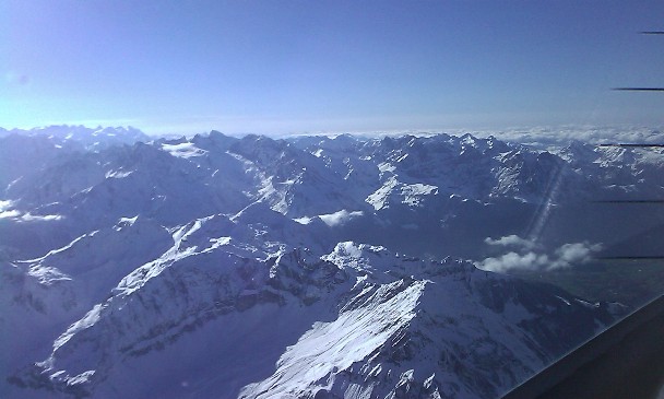
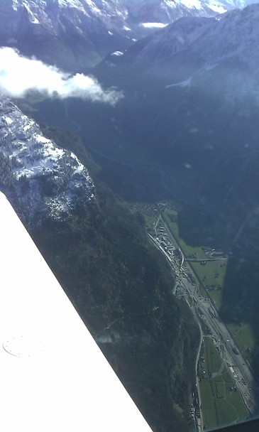
I then continued towards Lucerne, passing the site where the new Gotthard rail tunnel is being built. They broke through the mountain about a week ago, so that is now the longest tunnel in the world (57 km). The tunnel will shorten the journey time through the Alps by 40 minutes, taking the train will then be nearly as fast as if I fly over them. But the view from above is definitely better than from the train in the tunnel….
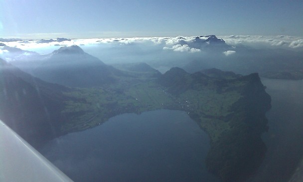
Below the lake of the four cantons..
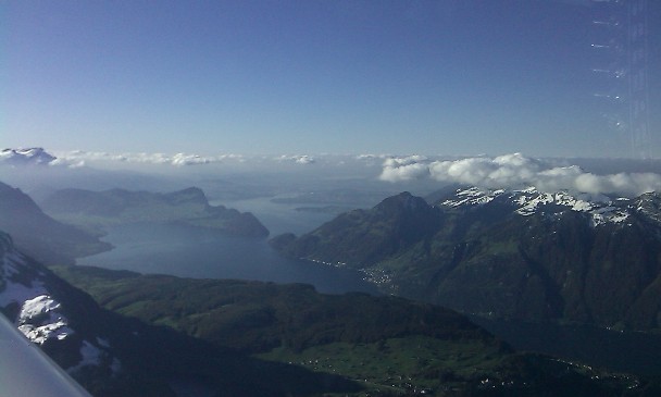
..with Buochs airfield in the centre of the photo. It is a military airbase, but also home of the Pilatus aircraft factory.
The Rigi mountain was in the clouds, at least seen from the south.
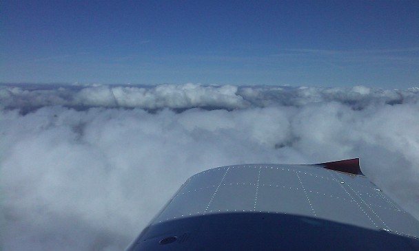
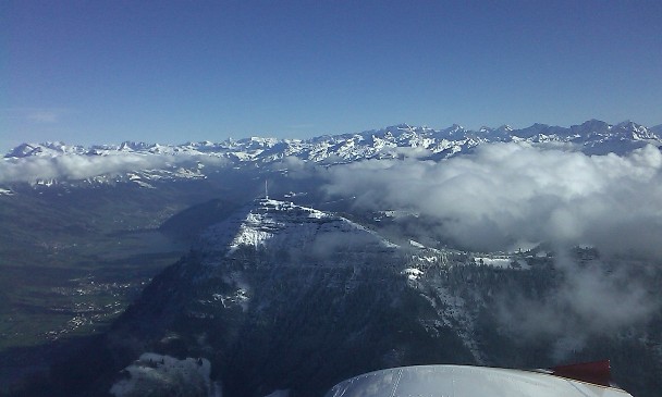
The northern side was out of the clouds, however, and when I passed it some people on the summit were waving to me.
I spent some extra time in the air to be sure to have passed the 25 hours mark with sufficient margin. After the landing I removed the cowling once more to check the engine, everything looked perfect. Some SportCruisers have experienced cracks in the exhaust, requiring a replacement (provided free of charge by CzechSportAircraft), but mine is probably older than the batch that had the problem as everything looked perfect. Next I will have to do the 25 hours maintenance check, but only after my next business trip / holiday.
The total flying hours are now:
| Flight | Flight duration | Landings | Remarks |
| 31 | 1:32 | 1 | |
| Total | 25:21 | 37 |
I can now send all papers to the EAS to receive the permit that allows me to carry passengers. To fly abroad I still need to perform the noise measurement, but that’s another story. If I find another SportCruiser in an EASA regulated country that has the same engine / propeller combination and a noise certificate I could use that one instead of having to perform the measurement myself, so I will try on the Yahoo forum to find someone.
23.10.2010: Today I played a bit with the Garmin MapSource Software that came with my GPS. I downloaded the flight track of the last flight I did. The tools allows you to view the track against the Gamin maps, as can be seen below:
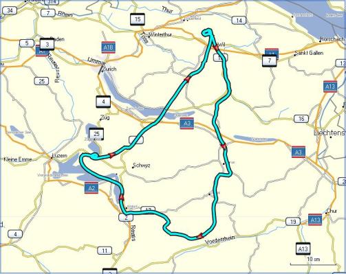
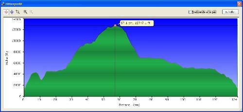
One can step through the flight point by point, with position, altitude, speed etc. displayed. One can also create a vertical profile, as can be seen below. According to that my highest altitude was 12’747 ft (GPS-altitude). I still had the recording interval set to 1 second from the measurement of the takeoff and landing performance, which allowed me to verify the balked landing climb rates I measured by looking at the Dynon.
One can also view the tracks in Google Earth, as can be seen below.
I also finished the AFM and the flight test documentation. I will however not send them to the EAS yet, as I am still trying to find a noise certificate of a SportCruiser with the same engine / propeller combination. That would allow me to skip the noise measurement and to get the final permit right away. I will anyway be abroad for the next five weeks (business and holiday), and when I am home the season is probably over, so it does not really matter how fast I get my certificate.
